La Plata Range, Colorado
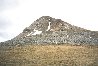
Centennial Peak, Colorado
13,062 feet above sea level

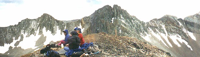
Lunchtime on Centennial Peak. In the background (l to r) rises Mount Moss (13,192), Lavender Peak (13,180) and the bulk of Hesperus, which is out of this frame to the right. When members of THS finally got to the top of Hesperus in the fall of the following year, we crawled up from the other side of this formidable barrier and peeped through the notch visible in the dark band of rock to the far right (there's a little streak of snow trailing out of it) before making the final ascent.
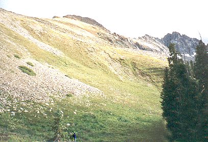
Looking east toward Snowstorm Peak, 12,511. Diorite Peak is on the right.
<<<

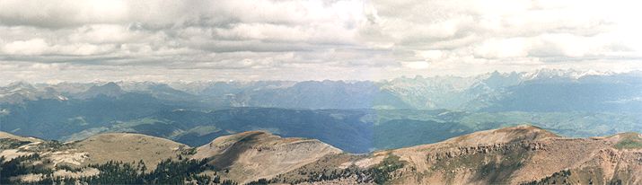
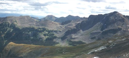
Viewing to the northeast, the dark mound to the left is Engineer Mountain (12,968). Scanning right, the land opens into Lime Creek Valley as the distance climbs toward Twin Sisters and Molas Pass. In among the snowy peaks around Silverton, is the Hajiin of the Navajos, a small island in the center of a lake surrounded in the cardinal directions by four high peaks as described in Navajo tradition. According to the Diné, this is where they emerged from the underworld as well as where the spirits of the Navajo dead pass down to the underworld.
The West Needles Range is the dark mass near the center of the photo, dominated by Twilight Peak (13,075). The highly contorted Twilight Gneiss was formed 1.78 billion years ago, making it the oldest rock in the San Juan Mountains, morphed long before there was any multicellular life. Moving east, the low area, (greener than the other shots in this mosaic) is the Animas River Valley. Rising high above the river, the two dark sentinels with sharp profiles are Pigeon (13,972) and Turret Peaks (13,835). The Needle Mountains, visible on the far right with a dusting of snow, are crowned by three rugged fourteeners; Windom, Sunlight and Eolus.
Turtle Hill © 2010